Border Crossing

The Alikadam Corridor

A documented Rohingya border crossing route - one group's ~54 km journey from the zero-line on the Myanmar border down to Alikadam Bazar in Bandarban, Bangladesh.

Reporting: Sajjad Hossain Voice: Naziba Basher Visualisation: Mir Rownak
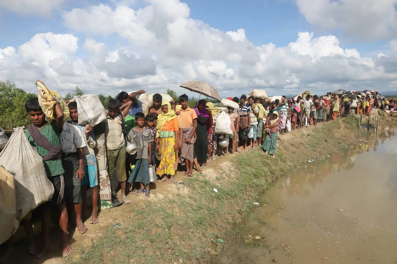
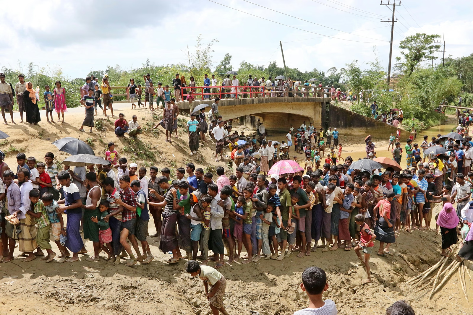
For decades, Rohingya people have fled Myanmar and sought refuge in Bangladesh due to persecution and violence. Since 1978, several waves of Rohingya have crossed the border to flee military crackdowns and unrest.

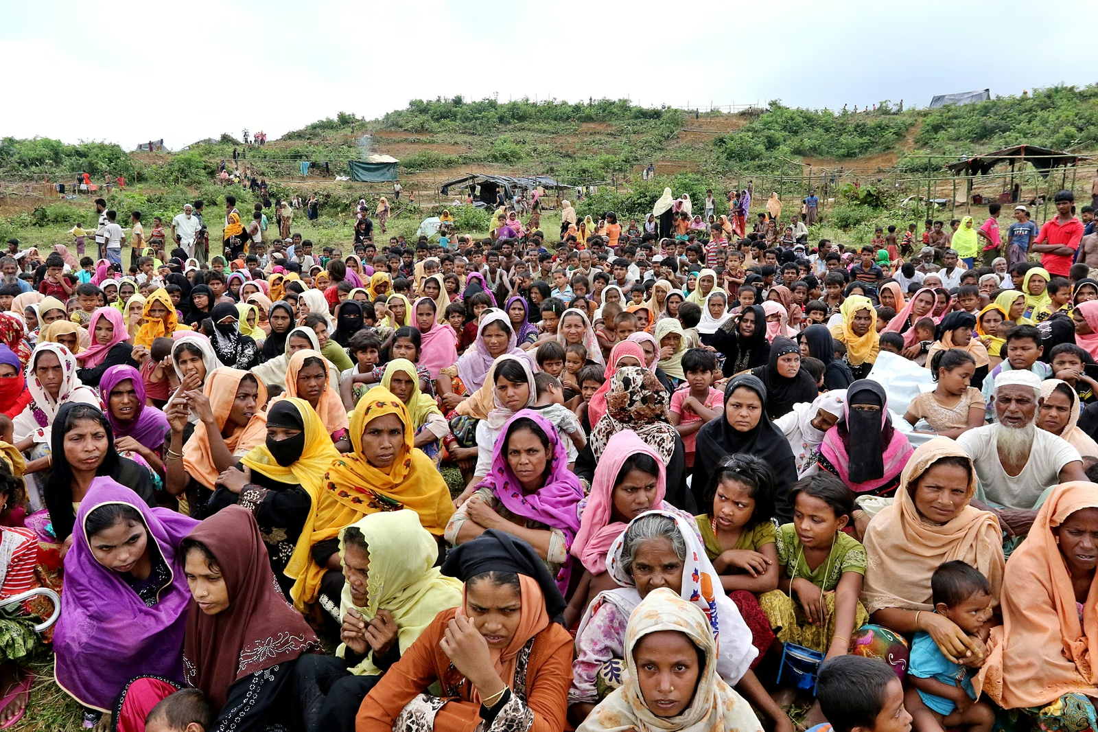
Rohingya camp overview
Rohingya refugees seek shelter in Bangladesh, establishing massive makeshift settlements. Photo: Star File
The 2017 Crisis

The largest influx occurred in 2017, when hundreds of thousands fled Myanmar to escape a brutal military campaign. According to government figures, around 12 lakh Rohingya from Myanmar are currently living in camps in Ukhiya and Teknaf.

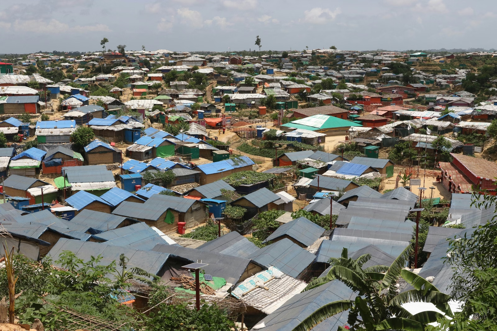
Refugee shelters
Crowded shelters sprawl across the hills of Ukhiya and Teknaf, home to over a million refugees. Photo: Star File
Unofficial Transit

However, Rohingya continue to enter Bangladesh through unofficial routes. Many use remote hill tracks and river crossings to avoid detection. As these movements take place outside formal border checkpoints, there are no reliable estimates of how many people are entering the country through these hidden routes.

May 20, 2026

On May 20, 2026, The Daily Star followed one such route. A group of 12 Rohingya, including three women, entered Alikadam in Bandarban from Myanmar. The route is about 54 kilometres long — hill streams, river crossings, forest paths and paved roads.

Using the map, we show how they travelled from the border area to Alikadam Bazar.

Two Entry Points

Crossing the Zero-Line

The group first gathered near pillars 56 and 61 on the Bangladesh–Myanmar border. Under cover of darkness they slipped across on two informal footpaths, both converging at Jurum Jhiri — the stream where the walk into Bangladesh begins.

The Descent

Into Jurum Jhiri

Faint torch-beams move along the stream bed — three women in front, followed by a silent line of men. After crossing Jurum Jhiri, the group starts walking through the hills, moving in near-total silence under the forest canopy.

Wet Transit

An Hour to Fatra Jhiri

After walking for about an hour, they reach Fatra Jhiri, near Fatra Para. Rocky and waist-deep in places, this stream is linked to the Matamuhuri River — people remove their shoes to wade through, risking cuts from stones and roots.

Beside the Stream

Fatra Para

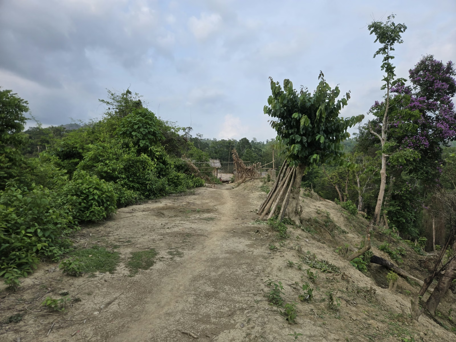
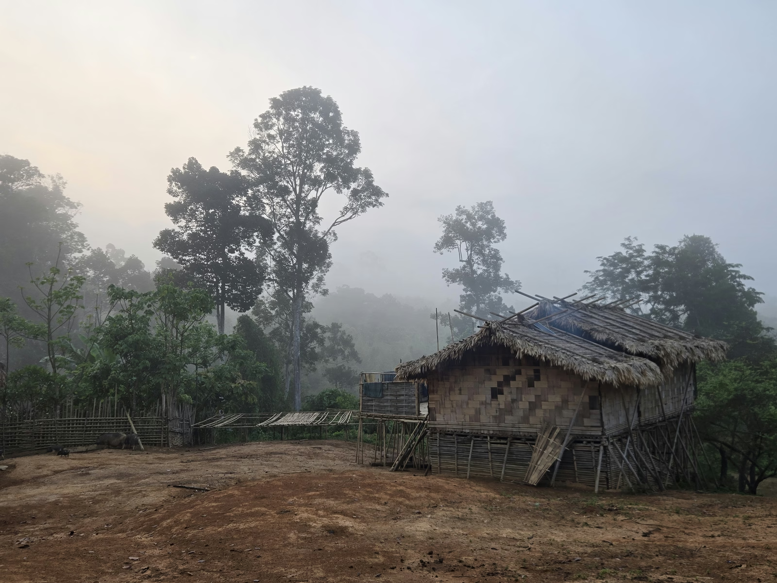
Fatra Jhiri runs wide and long, passing right beside Fatra Para — a small Mro village barely 1,500 metres from the border. The group never enters it, keeping to the stream and the hills, but from here the border itself is in plain view.

The entrance to Fatrapara, where nearly two dozen families lived, situated 1,483 metres from the Bangladesh-Myanmar border.
The entrance to Fatrapara, where nearly two dozen families lived, situated 1,483 metres from the Bangladesh-Myanmar border. Photo: Star
The border area can be seen from Fatra Para village
The border area can be seen from Fatra Para village. Photo: Star
The River Route

Down to Paharvanga

From Fatra Jhiri, they walk about two kilometres to Paharvanga. The village sits on a hilltop with the Matamuhuri River flowing below — and from here the group leaves the streams behind to follow the river route.

Night Halt

Resting at Sindhu Mukh

They pause at several places along the way. Following the river, the group reaches Sindhu Mukh in the dark and rests there through the night — watching the water, ready to vanish into the forest canopy if anyone approaches.

Morning Road

Dorimukh Para: The Paved Road

The next morning they change into dry clothes and set off again, crossing about five kilometres by river to reach Dorimukh Para. Here the paved road finally begins, and motorcycles pick them up for the ride towards Alikadam Bazar.

First Checkpoint

Past the Poamuhuri BGB Post

On the road, they first reach the Poamuhuri BGB checkpoint. The motorbikes slow but do not stop; after some questioning, the riders are allowed to go on.

The Bypass

Slipping Past Mendon Para

After travelling around 15km from the Poamuhuri BGB checkpoint, they bypass the Mendon Para Army checkpoint by using another hill path. The motorcycles cross the checkpoint without them and later pick them up again.

Waved Through

Crossing Krillai Para

The group then crosses the Krillai Para BGB checkpoint. Here too they are allowed to pass, and the ride continues — about 17 more kilometres of road towards Alikadam.

The Final Detour

Around the Last Checkpoint

To avoid the Alikadam army checkpoint, they break away from the main road and go through Mongcha Para — crossing the Matamuhuri River one last time to slip into Alikadam Bazar unseen.

Terminal Point

Arrival at Alikadam Bazar

After the river crossing at Mongcha Para, the group reaches Alikadam Bazar. From there they disperse to different places, taking up low-paid, unnegotiable labour in local markets, tea stalls, and construction sites.

The Full Route

Ten waypoints, ~54 km

  1. 01Jurum Jhiri
  2. 02Fatra Jhiri
  3. 03Paharvanga
  4. 04Sindhu Mukh
  5. 05Dorimukh Para
  6. 06Poamuhuri BGB
  7. 07Mendon Para
  8. 08Krillai Para BGB
  9. 09Alikadam Bazar
  10. 10Mongcha Para